
File:France cities.png
| |
This is a file from the Wikimedia Commons. Information from its description page there is shown below.
Commons is a freely licensed media file repository. You can help. |
| Description |
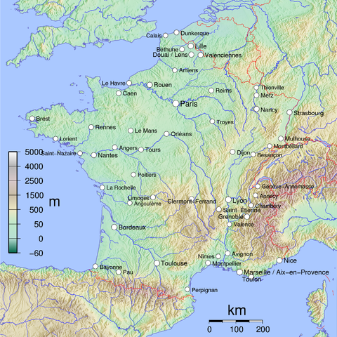
English: Map of Metropolitan French cities (agglomerations > 100,000 inhabitants on 1999 census).
Français : Carte des villes de la France métropolitaine (agglomérations de plus 100 000 habitants au recensement de 1999). See Image:France cities.pdf. |
||||||||||||||||||
| Date | 2005 | ||||||||||||||||||
| Source | Own work | ||||||||||||||||||
| Author | David Monniaux | ||||||||||||||||||
| Permission ( Reusing this file) |
|


|
 |
This image was selected as picture of the day on Wikimedia Commons for 6 April 2006. It was captioned as follows: English: Map of Metropolitan French cities
Česky: Mapa ukazující polohu velkých francouzských měst (nad 100 000 obyvatel).
Deutsch: Karte der französischen Großstädte
English: Map of Metropolitan French cities
Español: Francia metropolitana con las ciudades (áreas urbanas) de más de 100.000 habitantes.
Français : Carte des villes de France métropolitaine de plus de 100 000 habitants
Galego: Mapa de Francia
Magyar: 100000-nél több lakosú francia nagyvárosok térképe
Italiano: Carta delle città francesi con più di 100.000 abitanti
日本語: フランスの主要都市を記した地図
Nederlands: Map met Metropool steden van Frankrijk
Norsk nynorsk: Kart over Frankrike, der byar med over 100 000 innbyggjarar er merkte av.
Polski: Największe miasta Francji (powyżej 100.000 mieszkańców)
Português: Mapa da França
Русский: Крупнейшие города Франции
Svenska: Frankrike-karta där städer med över 100 000 invånare är utsatta.
ไทย: แผนที่แสดงนครใน ประเทศฝรั่งเศสส่วนกลาง (la France métropolitaine)
中文(简体): 法国十万人以上城市位置图
|
File usage
Find out about Schools Wikipedia
All five editions of Schools Wikipedia were compiled by SOS Children. SOS Children's Villages believes education is an important part of a child's life. That's why we ensure they receive nursery care as well as high-quality primary and secondary education. When they leave school, we support the children in our care as they progress to vocational training or higher education. We have helped children in Africa for many years - you can help too...