
File:Lake Tanganyika map.png
Size of this preview: 254 × 479 pixels.
| |
This is a file from the Wikimedia Commons. Information from its description page there is shown below.
Commons is a freely licensed media file repository. You can help. |
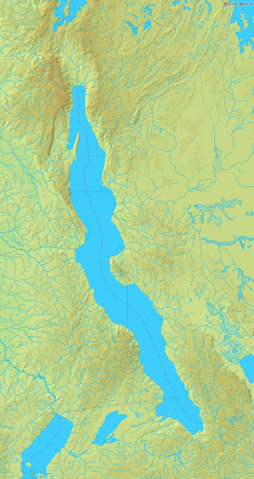
Map of Lake Tanganyika
Bounding box West 28°, South -9.5°, East 32°, North -2°. Centre at 5°45′00″S 30°00′00″E / 5.75000°S 30.00000°E.
 |
This image is in the public domain because it came from the site http://www.demis.nl/home/pages/Gallery/examples.htm and was released by the copyright holder. Permission is granted to copy, distribute and/or modify this map since it is based on free of copyright images from: www.demis.nl. See also approval email on de.wp and its clarification.
|
File usage
The following pages on Schools Wikipedia link to this image (list may be incomplete):
Metadata
Learn more
SOS Childrens Villages chose the best bits of Wikipedia to help you learn. SOS Children is an international children's charity, providing a good home and loving family to thousands of children who have lost their parents. We also work with communities to help vulnerable families stay together and raise children in the best possible environment. We have helped children in Africa for many years - you can help too...