
File:Eastern Mediterranean 1450 .svg
Size of this preview: 506 × 479 pixels.
| |
This is a file from the Wikimedia Commons. Information from its description page there is shown below.
Commons is a freely licensed media file repository. You can help. |
Summary
| Description |
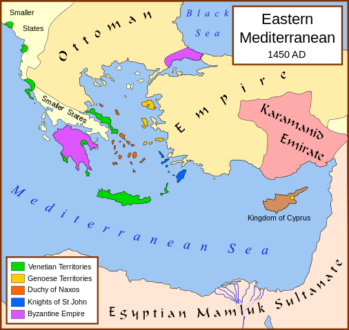
English: A political map of the eastern Mediterranean Sea, in 1450.
|
| Date | April 2007 |
| Source | Own work |
| Author | MapMaster |
- Bjorklund, Oddvar; Holmboe, Haakon; Rohr, Anders (1970) Historical Atlas of the World, Barnes & Noble, NY, SBN: 389-00253-4.
- Matthew, Donald, (1983), Atlas of Medieval Europe, Checkmark Books, New York.
Licensing
|
File usage
The following pages on Schools Wikipedia link to this image (list may be incomplete):
Metadata
A background to Schools Wikipedia
Wikipedia for Schools is one of SOS Children's Villages' many educational projects. The world's largest orphan charity, SOS Childrens Villages brings a better life to more than 2 million people in 133 countries around the globe. Why not try to find out more about sponsoring a child?