
File:Wembley Stadium map.png
Size of this preview: 631 × 479 pixels.
| |
This is a file from the Wikimedia Commons. Information from its description page there is shown below.
Commons is a freely licensed media file repository. You can help. |
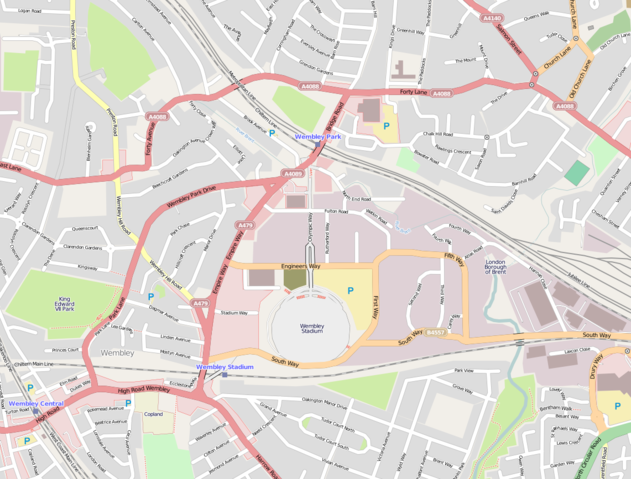
English: A map of England's Wembley Stadium in North West London, in relation to Olympic Way, Wembley Park/Central/Stadium stations, and the A406 (North Circular) Road (bottom right)
| Description | This map was created from OpenStreetMap project data, collected by the community. This map may be incomplete, and may contain errors. Don't rely solely on it for navigation. | |||||
| Date | 19 May 2010 | |||||
| Source | openstreetmap.org | |||||
| Author | OpenStreetMap contributors | |||||
| Permission ( Reusing this file) |
OpenStreetMap data and maps are licensed under the Creative Commons Attribution-ShareAlike 2.0 license (CC-BY-SA 2.0).
|
File usage
The following pages on Schools Wikipedia link to this image (list may be incomplete):
Background information
Wikipedia for Schools is designed to make learning fun and easy. By supporting vulnerable children right through to adulthood, SOS Children's Villages makes a lasting difference to the lives of thousands of people. Education is a key part of our work, and our schools provide high-quality teaching to the children in our care. There are many ways to help with SOS Children.