  | 
          
            This is a file from the  Wikimedia Commons. Information from its  description page there is shown below.  Commons is a freely licensed media file repository.  You can help. 
           | 


        Summary 


           | DescriptionSwaziland location map.svg | 
           
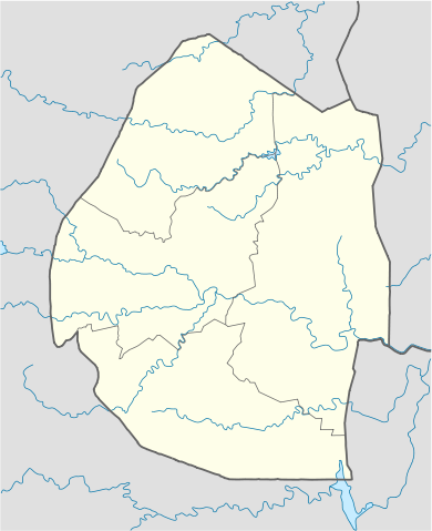
             Deutsch: Positionskarte von  Swasiland 
            Quadratische Plattkarte, N-S-Streckung 110 %. Geographische Begrenzung der Karte: 
            
             - N: 25.6° S
 
             - S: 27.5° S
 
             - W: 30.6° O
 
             - O: 32.3° O
 
             
            English: Location map of  Swaziland 
            Equirectangular projection, N/S stretching 110 %. Geographic limits of the map: 
            
             - N: 25.6° S
 
             - S: 27.5° S
 
             - W: 30.6° E
 
             - E: 32.3° E
 
             
            | 
          
          
           | Date | 
           25 February 2009 | 
          
          
           | Source | 
           own work, using United States National Imagery and Mapping Agency data | 
          
          
           | Author | 
            NordNordWest | 


         This map has been made or improved in the German  Kartenwerkstatt (Map Lab). You can  propose maps to improve as well.


         Licensing 


           I, the copyright holder of this work, hereby publish it under the following licenses:
           
            
               | 
             Permission is granted to copy, distribute and/or modify this document under the terms of the  GNU Free Documentation License, Version 1.2 or any later version published by the  Free Software Foundation; with no Invariant Sections, no Front-Cover Texts, and no Back-Cover Texts. A copy of the license is included in the section entitled  GNU Free Documentation License.  http://www.gnu.org/copyleft/fdl.htmlGFDLGNU Free Documentation Licensetruetrue 
              | 


   | 
             This file is licensed under the  Creative Commons  Attribution 3.0 Unported license. | 
             
              | 
             
            
             | 
              | 


               - You are free: 
                 - to share – to copy, distribute and transmit the work
 
                 - to remix – to adapt the work


               - Under the following conditions: 
                 - attribution – You must attribute the work in the manner specified by the author or licensor (but not in any way that suggests that they endorse you or your use of the work).


              http://creativecommons.org/licenses/by/3.0 CC-BY-3.0 Creative Commons Attribution 3.0 truetrue 
              | 
             
            
           You may select the license of your choice.
           | 


       File usage
       
        The following pages on Schools Wikipedia link to this image (list may be incomplete):


       This file contains additional information, probably added from the digital camera or scanner used to create or digitize it. If the file has been modified from its original state, some details may not fully reflect the modified file.
        
       
      Schools Wikipedia has made the best of Wikipedia available to students. SOS Childrens Villages is famous for the love and shelter it brings to lone children, but we also support families in the areas around our Children's Villages, helping those who need us the most. Help another child by taking out a sponsorship.