
File:Haiti relief location map.jpg
Size of this preview: 616 × 480 pixels.
| |
This is a file from the Wikimedia Commons. Information from its description page there is shown below.
Commons is a freely licensed media file repository. You can help. |
Summary
| Description |
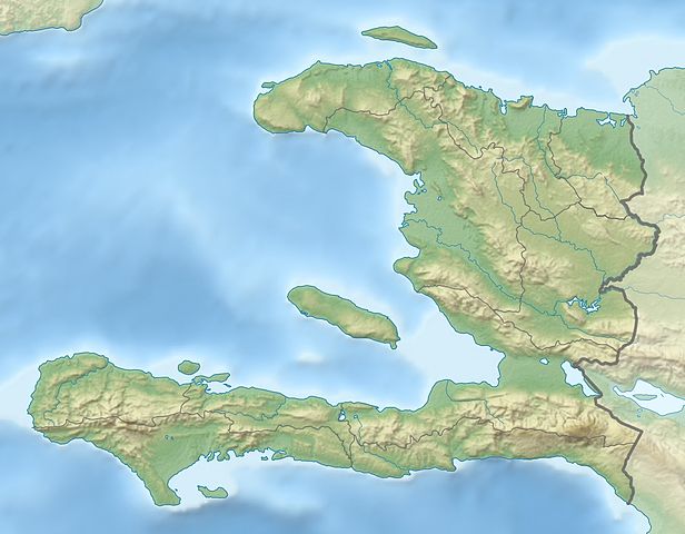
Deutsch: Physische Positionskarte Haiti mit Départements, Quadratische Plattkarte, N-S-Streckung 105 %. Geographische Begrenzung der Karte:
English: Physical Location map Haiti with departements, Equirectangular projection, N/S stretching 105 %. Geographic limits of the map:
|
| Date | February 2010 |
| Source | Own work, SRTM3, ETOPO1, VMAP0, OpenStreetMap for departements boundaries |
| Author | Alexrk2 |
| Permission ( Reusing this file) |
All OpenStreetMap data and maps are Creative Commons "CC-BY-SA 2.0" licensed |
This map has been made or improved in the German Kartenwerkstatt (Map Lab). You can propose maps to improve as well.
Licensing
|
File usage
The following pages on Schools Wikipedia link to this image (list may be incomplete):
Background information
SOS Children's Villages has brought Wikipedia to the classroom. SOS Childrens Villages cares for children who have lost their parents. Our Children's Villages give these children a new home and a new family, while a high-quality education and the best of medical care ensures they will grow up with all they need to succeed in adult life. Would you like to sponsor a child?